From rolling hills to ancient lakes, we’re lucky to have what feels like an endless supply of green spaces all over Shropshire. Of course, the wondrous wildlife and gorgeous scenery is reason enough to get out for a walk. But there’s nothing like a delicious pitstop to make a rural ramble even more enjoyable!
Striking tor and ancient trees

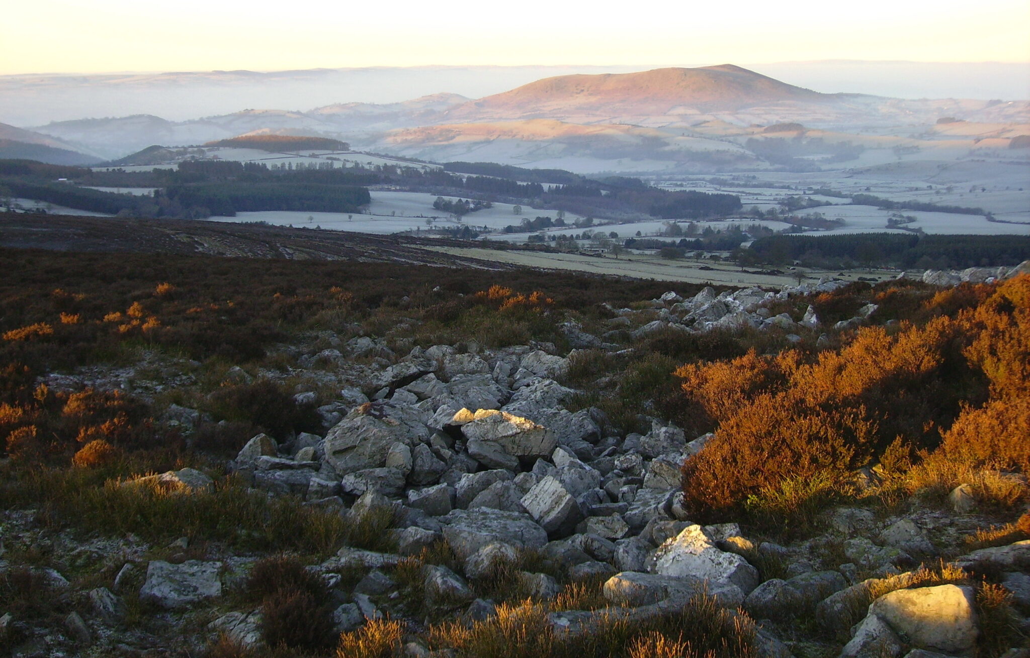
The Stiperstones is a dramatic six-mile ridge of wild heathland with outcrops of quartzite rock along its spine. This 5.3-mile-long walk from the village of Snailbeach, at the northern end of the Stiperstones, follows part of the ridge, taking in stunning views into Wales. But the hike has lots of other highlights too. You pass ruins of old lead mines and restored “squatter” cottages built by the miners, and enter The Hollies nature reserve, a grove of some 200 gnarled and very old holly trees – some are thought to be getting on for 400 years old. Later in the walk, you visit another nature reserve called Brook Vessons. An atmospheric and secluded place known for its giant rowan, birch and crab apple trees.
More information: Countryfile, Snailbeach and The Hollies, Shropshire
Where to eat: The Stiperstones Inn – a traditional local pub serving up the classics
Shropshire’s highest peak
Following a part of the Shropshire Way and paths used in prehistoric times, this seven-mile hike from the hamlet of Abdon takes you up, over and around Brown Clee Hill. One of its twin summits is the highest point in Shropshire (540m). As you might expect, the views are spectacular. To the east there is nothing loftier until you reach the Urals in Russia. The moorland – a wild expanse of bracken and heather – offers solitude and tranquillity now, but the hill was heavily quarried from medieval times through to the early 1900s: tell-tale signs such as bell pits can be seen. The route also passes the ramparts of Nordy Bank, a striking Iron Age fort. Brown Clee lies roughly half-way between Bridgnorth and Ludlow.
More information: The Shropshire Way, Circular Walk Brown Clee
Where to stay: The Pheasant at Neenton, a community-owned, 18th-century country inn which is acclaimed for its food. It’s a 15-minute drive away from the start of the walk.
Oswald’s Trail

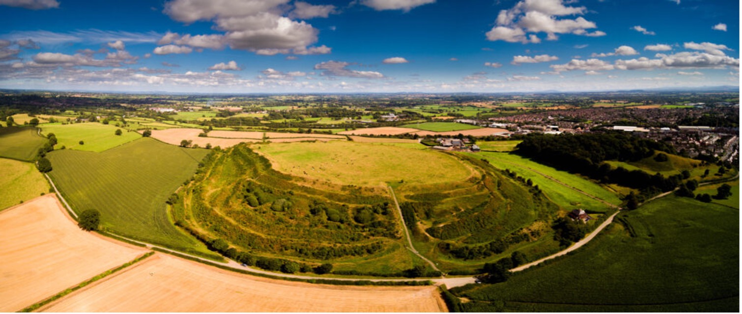
The rolling countryside around the ancient market town of Oswestry in north-west Shropshire, close to the Welsh border, has lots of places of historical interest. You can take them in by following Oswald’s Trail. A 12.6-mile circuit of Oswestry named after an Anglo-Saxon king who died in a nearby battle. Highlights include vast Old Oswestry Hillfort, one of the most impressive Iron Age hillforts in Britain, and Oswestry Old Racecourse Common – set on a high plateau, the course dates from the 18th century. The route also includes short sections of the trails along Offa’s Dyke and the lesser-known Wat’s Dyke, another linear earthwork.
More information: Oswalds Trail
Where to eat: Oswestry Townhouse – informal yet stylish dining in the heart of Oswestry.
Around Shropshire’s mini Lake District

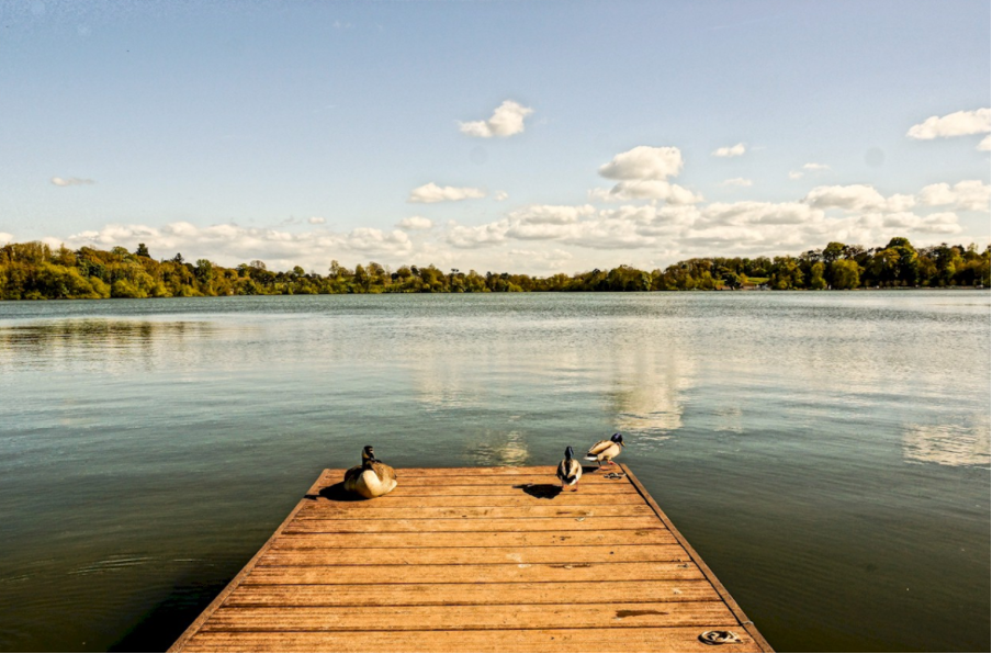
Shropshire has a collection of scenic lakes, called meres, that were formed by retreating glaciers in the last Ice Age. This seven-mile Meres Meander walk starts in the market town of Ellesmere, takes you along the towpath of the Shropshire Union Canal, past Blake Mere, then around beautiful Cole Mere, which is encircled by mature woodland and hay meadows. The walk then cuts through the countryside back towards Ellesmere and the shores of The Mere, by far the largest and most visited of the lakes. On the walk you can expect to see gulls and ducks aplenty, and maybe kingfishers, dragonflies and rare lilies and irises in the warmer months.
More information: Meres Meander– which also suggests options for shorter walks around the meres.
Where to eat: The Boathouse at Ellesmere – overlooking ellesmere lake, this is the perfect spot to refuel with lunch or coffee and cake!
Industrial heritage walk

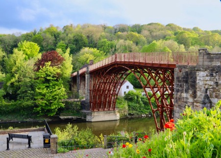
Ironbridge Gorge UNESCO World Heritage Site isn’t just about museums related to the Industrial Revolution. You can also explore the historic landscape on a network of informative trails. The 3.5-mile-long circular Iron Trail begins at the iconic Iron Bridge, and follows the Wharfage along the River Severn. It continues up to Coalbrookdale and on to Dale Coppice and Lincoln Hill, which in the 18th century were laid out with “Sabbath Walks” for workmen and their families, and had ornamental follies from which to take in the views. The view from where the Rotunda stood is quite something.
More information: Severn Gorge Walking Leaflet
Where to Eat: Furnace Kitchen – a contemporary kitchen. In the heart of coalbrookedale, serving yummy cake and coffes, brunch, lunch and savory snacks!


